January 16, 2026 | 09:30 am
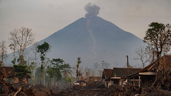
TEMPO.CO, Jakarta - Indonesia’s Geological Agency has maintained Mount Semeru’s volcanic activity at Level III (Alert) as of Friday, January 16, 2026, signaling continued high activity at the East Java volcano in Lumajang.
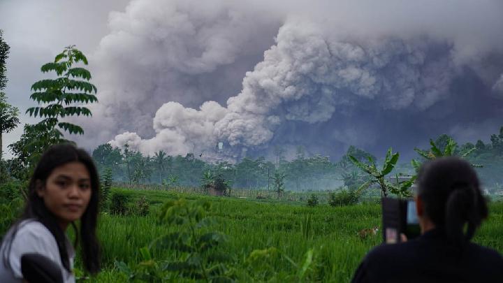
The alert comes amid repeated pyroclastic flows from the peak.
Acting Head of the Geological Agency, Lana Saria, reported that pyroclastic flows occurred again on Thursday, January 15, traveling up to 4 kilometers from the summit.
The day before, the flows occurred twice, reaching distances of 5 kilometers. The flows have been primarily directed toward the southeast sector, in the direction of Besuk Kobokan.
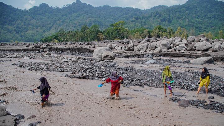
Between January 7–14, the volcano produced several pyroclastic flows with the farthest sliding distance recorded at 5 kilometers, accompanied by material avalanches.
Seismic activity at Semeru has been dominated by eruption, avalanche, and blast earthquakes, along with harmonic tremors.
According to Lana, these earthquakes indicate an active magma supply beneath the volcano, with material being released to the surface through eruptions and blasts.
“Seismic velocity measurements show fluctuations with significant deviation, indicating that the volcanic system is in a relaxation phase rather than pressurization, but it remains highly susceptible to increased pressure,” Lana explained.
She added that deformation monitoring shows a relatively stable pattern, suggesting no current pressure buildup inside the volcano.
Based on the evaluation, the agency recommends that communities, visitors, and climbers avoid activities within a 5-kilometer radius of Kawah Jonggring Seloko.
Entry is also prohibited in the southeast sector up to 13 kilometers from the peak, which can extend to 17 kilometers along the Besuk Kobokan flow.
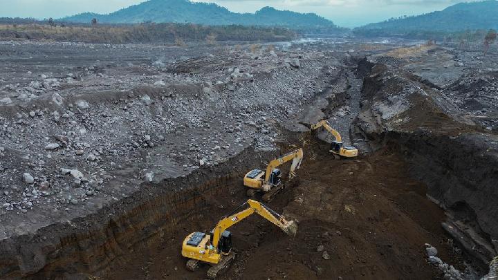
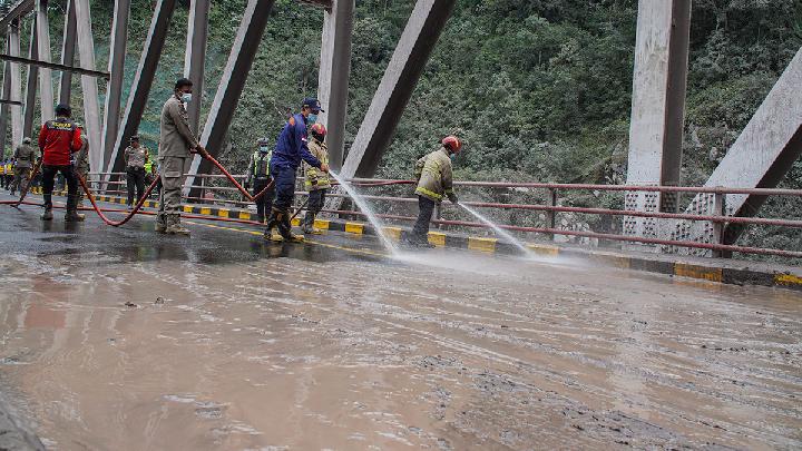
Authorities have urged vigilance against pyroclastic flows, lava avalanches, and lahars along rivers and valleys originating from the peak.
Seismic monitoring from the Semeru Volcano Observation Post (PGA) in Lumajang over the six hours leading to Friday at 06:00 AM local time recorded 37 eruption earthquakes with amplitudes of 13–22 mm and durations of 72–118 seconds, two avalanche earthquakes measuring 4–8 mm lasting 56–73 seconds, three blast earthquakes with amplitudes of 6–7 mm and durations of 42–55 seconds, and one harmonic tremor measuring 9 mm with a duration of 87 seconds.
The Geological Agency continues to closely monitor Mount Semeru and will provide updates as conditions evolve.
Read: Volcanic Activity at Indonesia's Mount Semeru Remains High
Click here to get the latest news updates from Tempo on Google News
Volcanic Activity at Indonesia's Mount Semeru Remains High
1 hari lalu
A total of 36 eruption earthquakes were recorded at Mount Semeru from early Thursday to 06:00 AM local time.
Mount Semeru Spews Pyroclastic Flows and Lava Floods
1 hari lalu
Mount Semeru erupted on Wednesday with pyroclastic flows and seismic tremors. Authorities maintain a Level III Alert.
Fact Check: Viral Mount Semeru Eruption Video Was AI-Edited
2 hari lalu
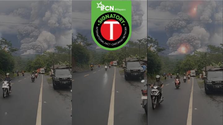
Fact check - The video circulating has been edited using AI from the original footage.
Mount Marapi Erupts in West Sumatra, Spewing Ash 1.2 Km High
31 hari lalu
Mount Marapi in West Sumatra experienced another eruption on Sunday evening, December 14, 2025.
BMKG Warns Prolonged Rain Could Trigger Mount Semeru Mudflows
41 hari lalu
BMKG has warned of possible mudflows and flash floods on Mount Semeru in East Java after morning rainfall on December 5, 2025.
How Dangerous Are Mount Semeru's Secondary Eruptions?
51 hari lalu
Smoke from Indonesia's Mount Semeru's secondary eruptions can be as dense as the primary pyroclastic flows
Understanding Indonesia's Four-Tier Volcanic Activity Levels
54 hari lalu
The Geological Agency has escalated Mount Semeru's activity status to Level IV. Here is Indonesia's classification of volcanic activity levels.
How Dangerous Are the Pyroclastic Flow Deposits in Mount Semeru's Valley?
55 hari lalu
Indonesia's Geological Agency head warned that Mount Semeru's recent pyroclastic deposits could cause secondary disasters if unmanaged.
187 Hikers Trapped by East Java's Mount Semeru Eruption Confirmed Safe
55 hari lalu
According to Indonesia's BNPB, 187 hikers were trapped along the popular Ranu Kumbolo trail when the Mount Semeru eruption occurred.
Key Facts on Mount Semeru Eruption: Casualties, Evacuations, and Aid Response
56 hari lalu
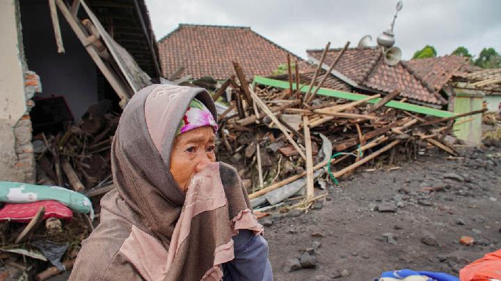
Mount Semeru in Lumajang, East Java, erupted on November 19, 2025.