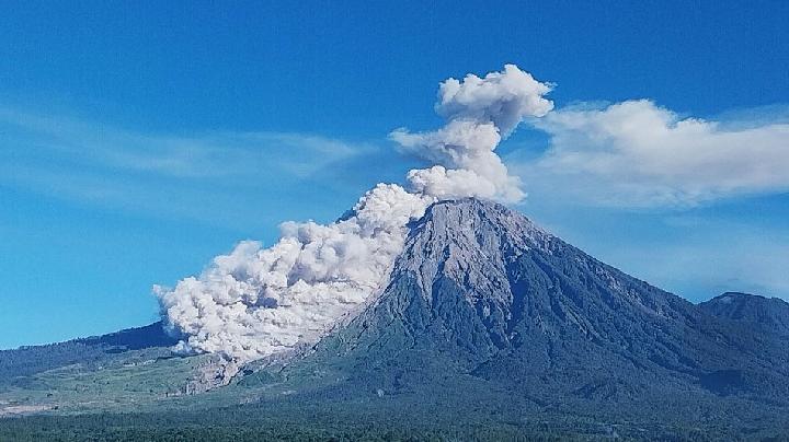
TEMPO.CO, Jakarta - Thin ash rain fell in several areas in Lumajang Regency following the eruption of Mount Semeru in Indonesia on Wednesday morning, just before dawn on July 15, 2026. The eruption, recorded around 04:19 AM local time, spewed volcanic ash up to 1 kilometer above the summit.
The Semeru Volcano Observatory (PGA) in Mount Sawur, Sumber Wuluh Village, Candipuro District, Lumajang Regency, reported that the observed ash column appeared white to gray with thick intensity towards the northeast. "The eruption was recorded on seismographs with a maximum amplitude of 22 mm and a duration of 204 seconds," said PGA Semeru officer Sigit Rian Alfian in a written report on Wednesday.
Meanwhile, based on the observation of seismic activity over the last six hours until Wednesday morning at 06:00 AM local time, there were 12 instances of eruption tremors with amplitudes of 10-22 mm and durations of 73-204 seconds. There were also 7 rockfall tremors with amplitudes of 1-5 mm and durations of 54-91 seconds.
The PGA Semeru also recorded 4 instances of blast tremors with amplitudes of 2-7 mm and durations of 51-64 seconds. In addition, there were 6 harmonic tremors with amplitudes of 1-15 mm and durations of 97-539 seconds. Distant tectonic tremors were recorded once with an amplitude of 12 mm, S-P 19 seconds, and a duration of 64 seconds.
Furthermore, the recapitulation of Mount Semeru's seismic activities on July 14, 2026, recorded 79 tremors within 24 hours, consisting of 53 eruption tremors, 16 rockfall tremors, 8 blast tremors, and 1 tremor.
The Acting Head of the Regional Disaster Management Agency (BPBD) of Lumajang Regency, Isnugroho, stated that the alert status for the highest volcano in Java is still at level III. He mentioned that based on the seismic data, there is still the potential for eruptive events such as pyroclastic flows. He also revealed that since Saturday, July 11, 2026, volcanic dust has been directed towards Lumajang City, resulting in thin ash rainfall. "We advise users of two-wheeled vehicles to wear masks," he said on Wednesday.
Under this alert status, the Center for Volcanology and Geological Hazard Mitigation (PVMBG) issued several recommendations, including refraining from any activities in the southeast sector along Besuk Kobokan, up to 13 kilometers from the peak (eruption center).
Beyond this distance, people are advised not to engage in activities within 500 meters from the edge of the river (river boundary) along Besuk Kobokan, as there is the potential for being affected by expanding pyroclastic flows and lava up to 17 kilometers from the peak.
In addition, residents are urged not to be active within a 5-kilometer radius from the crater/peak of Mount Semeru due to the risk of being hit by flying rocks. They are also asked to be cautious of potential pyroclastic flows, and lava flows along river valleys originating from the peak of Mount Semeru, especially along Besuk Kobokan, Besuk Bang, Besuk Kembar, and Besuk Sat, as well as the potential for lahar in small rivers which are tributaries of the Besuk Kobokan river.
Read: Mount Semeru Hit by 583 Eruptive Earthquake in Late May
Click here to get the latest news updates from Tempo on Google News
Mount Semeru Erupts Twice This Morning, Ash Column Reaches 1.2 Km
16 April 2026
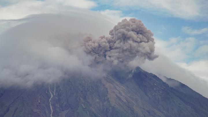
Residents are advised to be wary of the potential for pyroclastic flows, lava avalanches, along the river/valley flowing from the peak of Mount Semeru.
Mount Semeru Erupts Twice After Midnight, Alert Status Maintained
5 Februari 2026
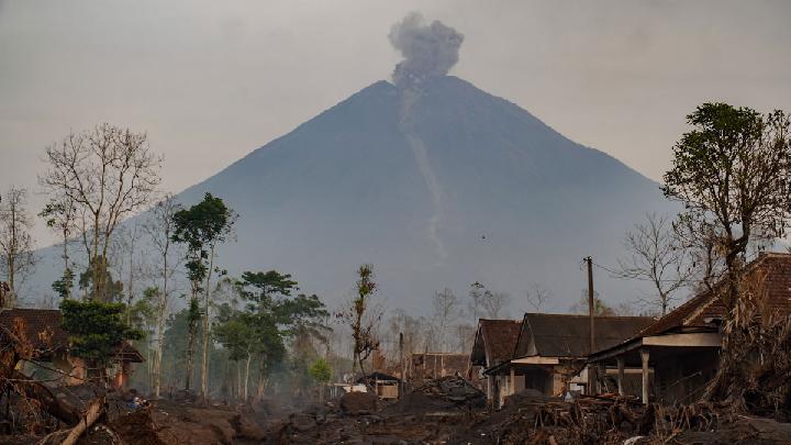
Mount Semeru erupted again early Thursday, February 5, 2026, at 12:13 a.m. Western Indonesian Time (WIB).
Mount Semeru Emits Hot Clouds for Two Days, Alert Level Remains High
16 Januari 2026
During the period of January 7-14, 2026, Mount Semeru's volcanic activity remains high with frequent occurrences of pyroclastic flows.
Volcanic Activity at Indonesia's Mount Semeru Remains High
15 Januari 2026
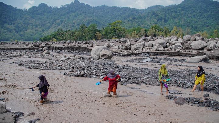
A total of 36 eruption earthquakes were recorded at Mount Semeru from early Thursday to 06:00 AM local time.
How Dangerous Are Mount Semeru's Secondary Eruptions?
25 November 2025
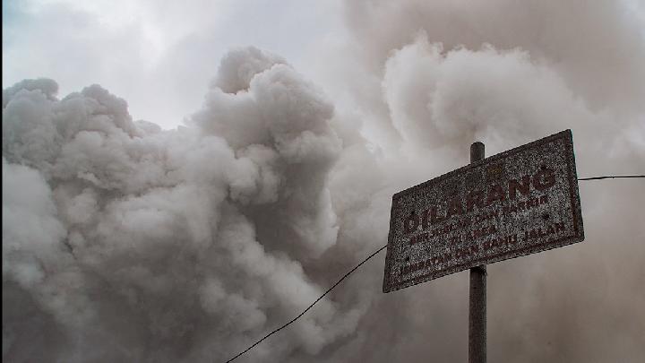
Smoke from Indonesia's Mount Semeru's secondary eruptions can be as dense as the primary pyroclastic flows
BMKG Explains Earthquake That Shocked Residents from Bali to Yogyakarta
24 November 2025

An earthquake occurred on Monday morning, 24 November 2025. It was felt quite strongly, with some speculating it to be related to the Semeru Volcanic activity.
How Dangerous Are the Pyroclastic Flow Deposits in Mount Semeru's Valley?
21 November 2025
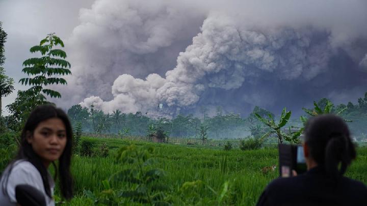
Indonesia's Geological Agency head warned that Mount Semeru's recent pyroclastic deposits could cause secondary disasters if unmanaged.
187 Hikers Trapped by East Java's Mount Semeru Eruption Confirmed Safe
21 November 2025
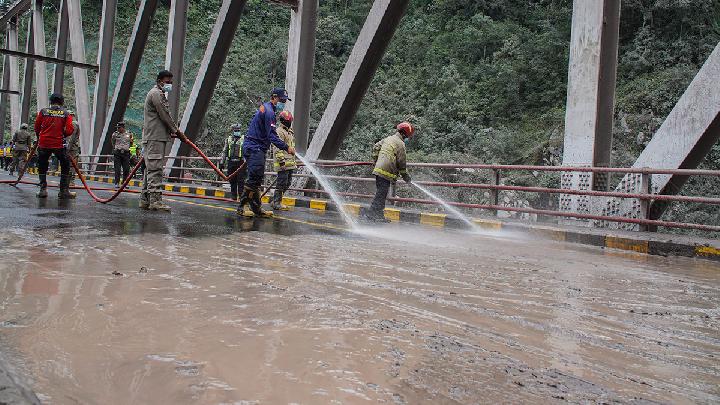
According to Indonesia's BNPB, 187 hikers were trapped along the popular Ranu Kumbolo trail when the Mount Semeru eruption occurred.
Semeru Eruption Traps 60 Hikers in Ranu Kumbolo
20 November 2025
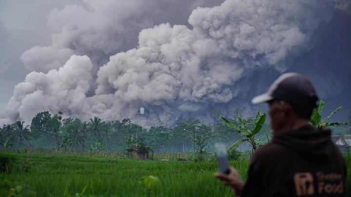
Indonesia's National Search and Rescue Agency confirms that there are at least 60 hikers and 15 guides stranded at Ranu Kumbolo, Mount Semeru.
957 Lumajang Residents Evacuated After Mount Semeru Eruption
20 November 2025

A total of 957 residents fled after the eruption of Mount Semeru, accompanied by avalanches of hot clouds.